← All work04 / 06 · 2025
Mobility · Interaction design, prototyping
North
Wayfinding for a city transit network — maps you can hold, not just look at.
Problem
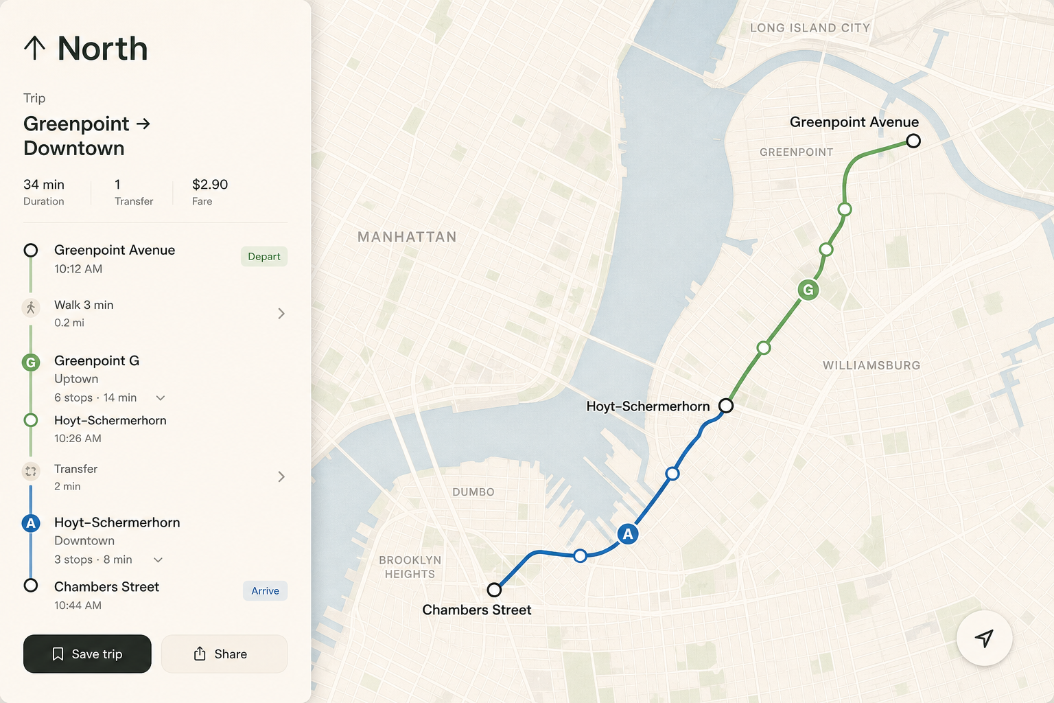
The existing app treated stations as pins. People needed sequences, transfers, and time, not geography.
Approach
I rebuilt the core loop around trips, not maps. The map became a supporting layer; the itinerary became the product.
Outcome
A prototype that operations and design could both use in workshops. Shipped as the new trip model.
Stack
ReactMap renderingMotion specsAccessibility